Full resolution (JPEG) - On this page / på denna sida - Title and contents

<< prev. page << föreg. sida << >> nästa sida >> next page >>
Below is the raw OCR text
from the above scanned image.
Do you see an error? Proofread the page now!
Här nedan syns maskintolkade texten från faksimilbilden ovan.
Ser du något fel? Korrekturläs sidan nu!
This page has never been proofread. / Denna sida har aldrig korrekturlästs.
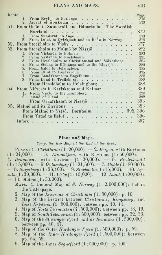
Route Page
1. From Kryibo to Borlänge......................... 370
2. Ascent of Areskutan............................... 372
51. From Gefle to Sundsvall and Haparanda. The Swedish
Norrland . . . o................................372
1. From Sundsvall to Ange........................... 373
2. From Luleå to Qvickjock and to Bodf» in Norway . . 375
52. From Stockholm to Yisby...............................377
53. From Stockholm to Malmö hy Nässjö.....................382
1. From Vislanda to Bolmen........................ 3S3
2. From Vislanda to Karlshamn..................... 384
3. From Hessleholm to ^Christianstad and Sölvesborg . . 3SL
4. From Stehag to Röstånga and to the Ringsjö .... 385
5. From Eslöf to Helsingborg...................... 385
t». From Eslöf to Landskrona...................... 385
7. From Landskrona to Engelholm.................... 3S5
8. From Lund to Trelleborg......................... 388
From Hessleholm to Helsingborg....................388
54. From Alfvesta to Karlskrona and Kalmar..................389
1. From Vexiö to the Kronoberg...................... 390
2. Island of Öland.................................. 392
From Oskarshamn to Nässjö.........................393
55. Malmö and its Environs..................................393
From Malmö to Ystad. Bornholm.................. 395, 396
From Ystad to Eslöf...................................396
Index...................................................397
Flans and Maps.
Comp, the Key Map at the End of the TtooV.
Plans: 1. Christiania (1:20,000). — 2. Bergen, with Environs
(1 :24,000). — 3. Throndhjem, with Environs (1:50,000). —
4. Drammen, with Environs (1:20,000). — 5. Fredrikshald
(1 : 15,000). — 6. Gothenburg (1 : 21,500). —7. Molde (1 : 80,000).
— 8. Sarpsborg (1: 26,100).— 9. Stockholm^ 1 :15,000). —10.
Up-snla (1 :20,000). — 11. Visby (1 :15,000). — 12. Lund{1 :20,000).
— 13. Malmö (1 : 30,000).
Maps. 1. General Map of S. Norrvay (1 :2,000,000): before
the Title-page.
2. Map of the Environs of Christiania (1: 80,000) : p. 10.
3. Map of the District between Christiania, Kongsberg, and
Lake Krøderen (1 : 500,000): between pp. 10, 11.
4. Map of North Telemarken (1:500,000): between pp. 18, 19.
5. Map of South Telemarken (1: 500,000): between pp. 32, 33.
6. Map of the Stavanger Fjord and its Branches (1 : 500,000):
between pp. 46, 47.
7. Map of the Outer Hardanger Fjord (1 : 500,000): p. 52.
8. Map of the Inner Hardanger Fjord (1:500,000): between
pp. 54, 55.
9. Map of the Inner Sognefjord (1 : 500,000): p. 100.
<< prev. page << föreg. sida << >> nästa sida >> next page >>