Full resolution (JPEG) - On this page / på denna sida - Norway - Pages ...

<< prev. page << föreg. sida << >> nästa sida >> next page >>
Below is the raw OCR text
from the above scanned image.
Do you see an error? Proofread the page now!
Här nedan syns maskintolkade texten från faksimilbilden ovan.
Ser du något fel? Korrekturläs sidan nu!
This page has never been proofread. / Denna sida har aldrig korrekturlästs.
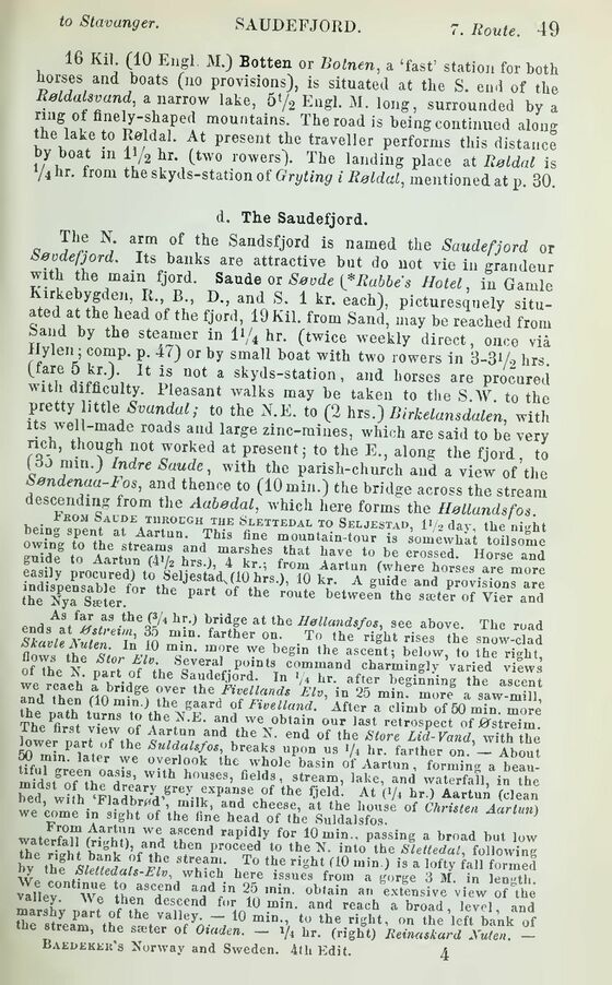
16 Kil (10 Engl. M.) Botten or Botnen, a ‘fast’ station for both
horses and boats (no provisions), is situated at the S. end of the
Reldalsvand, a narrow lake, 5‘/2 Engl. M. long, surrounded by a
ring of finely-shaped mountains. The road is being continued along
the lake to Roldal. At present the traveller performs this distance
by boat m ll/2 hr. (two rowers). The landing place at Røldal is
’4 hr- from th^yds-statm^f Gryting i Røldal, mentioned at p. 30.
d. The Saudefjord.
c N; a!m °f the Saiidsfjord is named the Saudefjord or
Søodefjord. Its banks are attractive but do not vie in grandeur
with the main fjord. Saude or Søvde Rabbe s Hotel, in Gamle
Kirkebygden, It., BD., and S. 1 kr. each), picturesquely
situated at the head of the fjord, 19 Kil. from Sand, may be reached from
band by the steamer in V/4 hr. (twice weekly direct, once viå
ilylen; comp. p. 47) or by small boat with two rowers in 3-3V2 brs.
me U is uot a skyJs-station, and horses are procured
with difficuRy. Pleasant walks may be taken to the S.W. to the
pretty little Svandal; to the N.E. to (2 hrs.) Birkelansdalen, with
its well-made roads and large zinc-mines, which are said to be very
nch, though not worked at present; to the E., along the fjord to
(ÖO mm.) lndre Saude, with the parish-church and a view of the
Søndenaa-Fos, and thence to (10 min.) the bridge across the stream
descending from the Aabødal, which here forms the HøUundsfos
hpinfK0M ®AU?E,T1IR0CGH THE Slettedal to Seljestad, 1" 2 day the ni^ht
the Nya Sæter. * P f h® r0Ute between the »»ter of Yier and
end8AatfSifMf™ ’WR* at tbe see above. The road
SkavUXu/r, In in • farther °“- To ,he right rises the snow-clad
:s;S’.S ;£
lower p rt‘orth Suldal end °f the Slore Li«-rant wÄ
lower part ot the Suldalsfos, breaks upon us >/t hr. farther on — About
M mm. later we overlook the whole basin ol Aanun formin. a b
midst6of ?hpaH,S’ WU h0USeS> field3’ stream- l»ke, and waterfall, in the
“ed w°fh^Flfdbr7d’grey-tvXPal!fe uf thC f;ield- At (V‘ hr.) Aartun (clean
we come in 7ht nf r ’ a.1 the of Christen Aartun)
we come in sight of the fine head of the Suldalsfos.
waterfen w/hA" la aflCCnd rapidIy for 10 Passing a broad but low
the riJh t Äf u tben Proceed to the N. into the Slettedal, following
£ thtsMUdals b-“t*’ , T° th° ri"ht (1° ,nin ) is a lofty fall forced
w. . 6 r * * ’’ which here issues from a gorge 3 M. in length
vllley We6 henSCdPnd Gb,ain «n Ixfensive ’view oft
marsh v 7,, desGend for 10 min. and reach abroad, level, and
r ryprtt lbe. Var 7 10 t0 the right, on the left bank of
the stream, the sæter of Oxaden. — i/4 hr. (right) Iieinaskard Xuten. —
Baedekek’s Norway and Sweden. 4th Edit. 4
<< prev. page << föreg. sida << >> nästa sida >> next page >>