
Full resolution (JPEG) - On this page / på denna sida - DE STORA SJÖARNA OCH ATLANTKUSTENS TÄTBYGD
<< prev. page << föreg. sida << >> nästa sida >> next page >>
Below is the raw OCR text
from the above scanned image.
Do you see an error? Proofread the page now!
Här nedan syns maskintolkade texten från faksimilbilden ovan.
Ser du något fel? Korrekturläs sidan nu!
This page has been proofread at least once.
(diff)
(history)
Denna sida har korrekturlästs minst en gång.
(skillnad)
(historik)
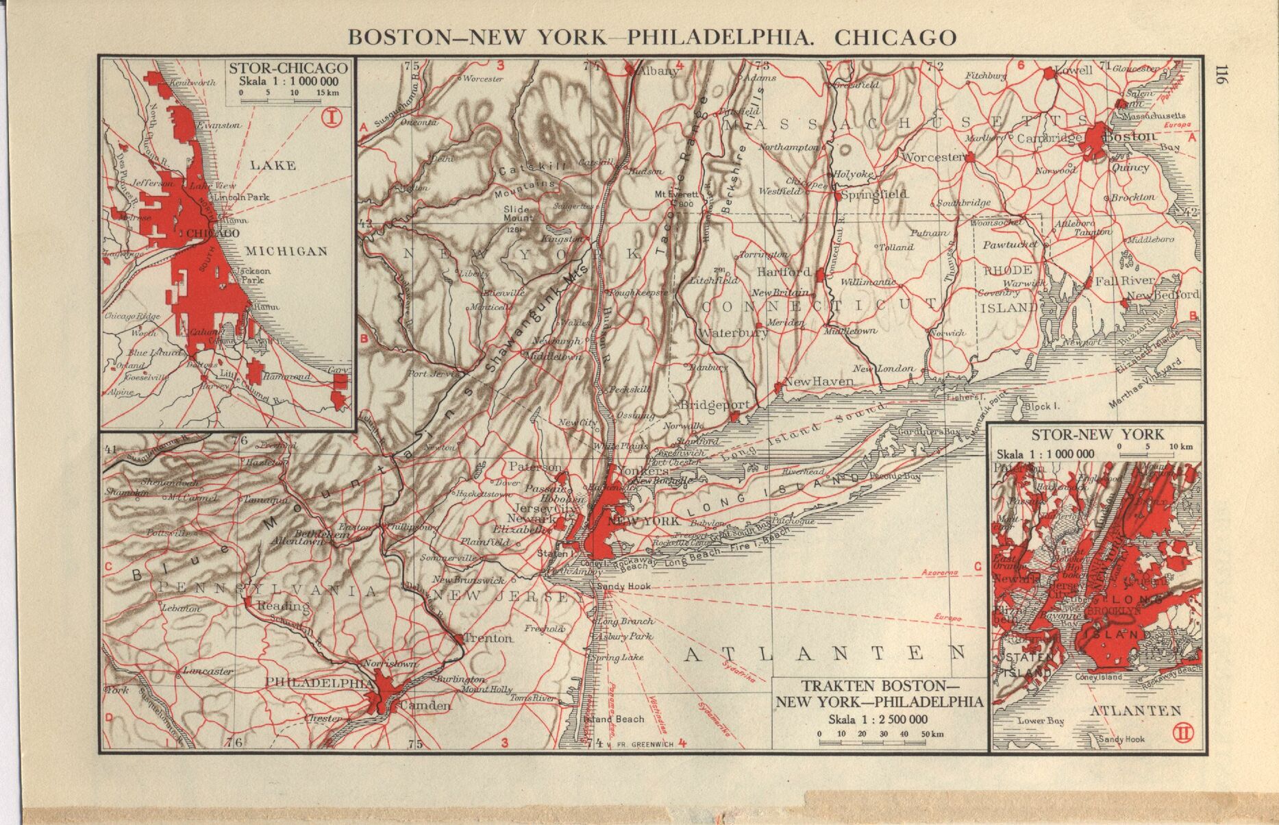
BOSTON-NEW YORK—PHILADELPHIA. CHICAGO
TRAKTEN BOSTON
NEW YORK-PHILADELPHIA
Skala l : 2500000
O 10 20 30 40 50km
<< prev. page << föreg. sida << >> nästa sida >> next page >>