Full resolution (JPEG) - On this page / på denna sida - Sidor ...

<< prev. page << föreg. sida << >> nästa sida >> next page >>
Below is the raw OCR text
from the above scanned image.
Do you see an error? Proofread the page now!
Här nedan syns maskintolkade texten från faksimilbilden ovan.
Ser du något fel? Korrekturläs sidan nu!
This page has never been proofread. / Denna sida har aldrig korrekturlästs.
80
Hardanger.
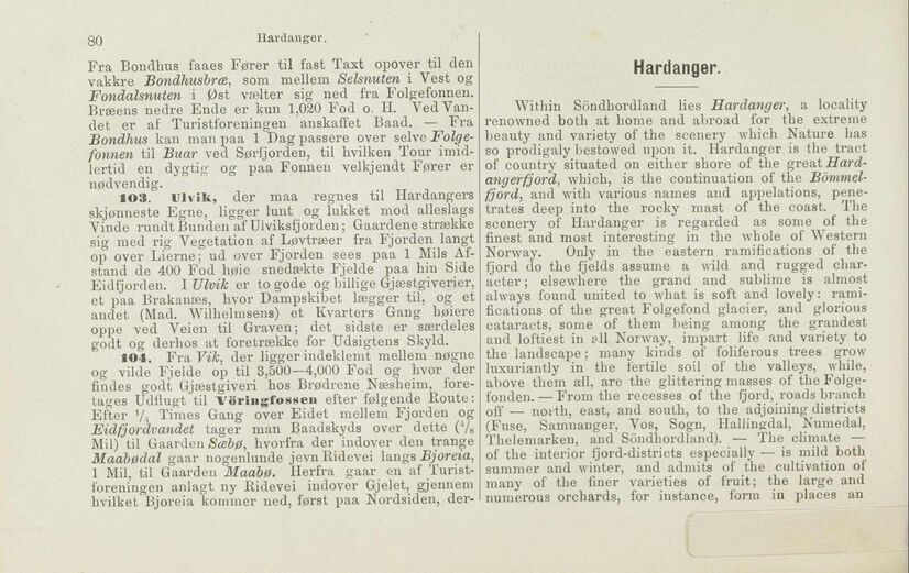
Fra Bondhus faaes Fører til fast Taxt opover til den
vakkre Bondhusbræ, som mellem Selsnuten i Vest og
Fondalsnuten i Øst vælter sig ned fra Folgefonnen.
Bræens nedre Ende er kun 1,020 Fod o. H. Yed
Vandet er af Turistforeningen anskaffet Baad. — Fra
Bondlius kan man paa 1 Dag passere over selve
Folgefonnen til Buar ved Sørfjorden, til hvilken Tour
imidlertid en dygtig og paa Fonnen velkjendt Fører er
nødvendig.
103. Ulvik, der maa regnes til Hardangers
skjønneste Egne, ligger lunt og lukket mod alleslags
Vinde rundt Bunden af Ulviksfjorden; Gaardene strække
sig med rig Vegetation af Løvtræer fra Fjorden langt
op over Lierne; ud over Fjorden sees paa 1 Mils
Afstand de 400 Fod høie snedækte Fjelde paa hin Side
Eidfjorden. I Ulvik er to gode og billige Gjæs tgi veri er,
et paa Brakanæs, hvor Dampskibet lægger til, og et
andet (Mad. Wilhelmsens) et Kvarters Gang høiere
oppe ved Veien til Graven; det sidste er særdeles
godt og derhos at foretrække for Udsigtens Skyld.
104. Fra Vik, der ligger indeklemt mellem nøgne
og vilde Fjelde op til 3,500—4,000 Fod og hvor der
findes godt Gjæstgiveri hos Brødrene Næsheim,
foretages Udflugt til Vöriiigfownen efter følgende Route:
Efter y4 Times Gang over Eidet mellem Fjorden og
Fid f jordvandet tager man Baadskyds over dette (4/8
Mil) til Gaarden Sæbø, hvorfra der indover den trange
Maabødal gaar nogenlunde jevnRidevei langs Bjor eia,
1 Mil, til Gaarden Maabø. Herfra gaar en af
Turistforeningen anlagt ny Ridevei indover Gjelet, gjennem
hvilket Bjoreia kommer ned, først paa Nordsiden, der-
Hardanger.
Within Söndhordland lies Hardanger, a locality
renowned both at home and abroad for the extreme
beauty and variety of the scenery which Nature has
so prodigaly bestowed upon it. Hardanger is the tract
of country situated on either shore of the gveat
Hardangerfjord, which, is the continuation of the
Bömmel-fjord, and with various names and appelations,
penetrates deep into the rocky mast of the coast. The
scenery of Hardanger is regarded as some of the
finest and most interesting in the whole of Western
Norway. Only in the eastern ramifications of the
fjord do the fjelds assume a wild and rugged
character ; elsewhere the grand and sublime is almost
always found united to what is soft and lovely:
ramifications of the great Folgefond glacier, and glorious
cataracts, some of them being among the grandest
and loftiest in all Norway, impart life and variety to
the landscape; many kinds of foliferous trees grow
luxuriantly in the fertile soil of the valleys, while,
above them all, are the glittering masses of the
Folge-fonden. — From the recesses of the fjord, roads branch
off — north, east, and south, to the adjoining districts
(Fuse, Samnanger, Vos, Sogn, Hallingdal, Numedal,
Thelemarken, and Söndhordland). — The climate —
of the interior ijord-districts especially — is mild both
summer and winter, and admits of the cultivation of
many of the finer varieties of fruit; the large and
numerous orchards, for instance, form in places an
<< prev. page << föreg. sida << >> nästa sida >> next page >>