Full resolution (JPEG) - On this page / på denna sida - Route in Northern Arabia

<< prev. page << föreg. sida << >> nästa sida >> next page >>
Below is the raw OCR text
from the above scanned image.
Do you see an error? Proofread the page now!
Här nedan syns maskintolkade texten från faksimilbilden ovan.
Ser du något fel? Korrekturläs sidan nu!
This page has never been proofread. / Denna sida har aldrig korrekturlästs.
[-land-]{+16
Dr. Wallin’s Route in Northern Arabia.
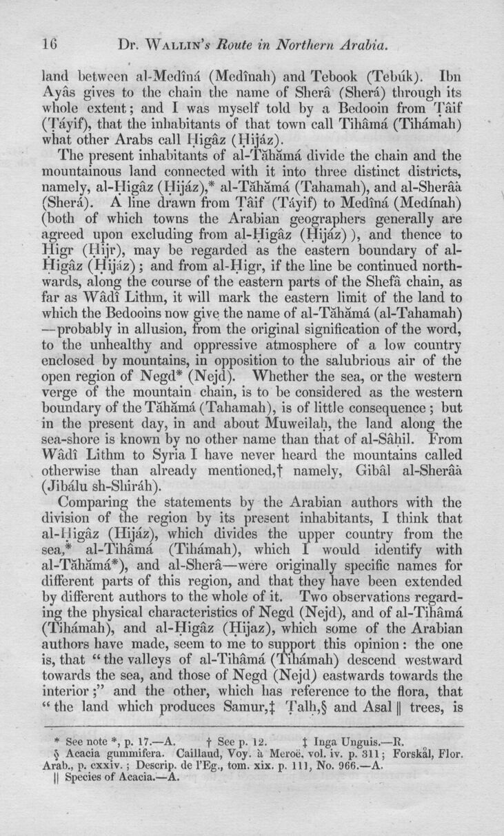
land+} between al-Medind (Med malt) and Tebook (Tebuk). Ibn
Ayas gives to the chain the name of Shcra (Sherd) through its
whole extent; and I was myself told by a Bedooin from Taif
(Tayif), that the inhabitants of that town call Tihama (Tihdmah)
what other Arabs call lligaz (Hijaz).
The present inhabitants of al-Tahama divide the chain and the
mountainous land connected witli it into three distinct districts,
namely, al-Higaz (Hijaz),* al-Tahama (Tahamah), and al-Sheraa
(Sherd). A line drawn from Taif (Tayif) to Medina (Medmah)
(both of which towns the Arabian geographers generally are
agreed upon excluding from al-Higaz (Hijaz)), and thence to
Higr (Hijr), may be regarded as the eastern boundary of
al-Higaz (Hijaz); and from al-Higr, if the line be continued
northwards, along the course of the eastern parts of the Shefa chain, as
far as Wadi Lithm, it will mark the eastern limit of the land to
which the Bedooins now give the name of al-Tahamd (al-Tahamah)
—probably in allusion, from the original signification of the word,
to the unhealthy and oppressive atmosphere of a low country
enclosed by mountains, in opposition to the salubrious air of the
open region of Negd* (Nejd). Whether the sea, or the western
verge of the mountain chain, is to be considered as the western
boundary of the Tahamd (Tahamah), is of little consequence ; but
in the present day, in and about Muweilah, the land along the
sea-shore is known by no other name than that of al-Sahil. From
Wadi Lithm to Syria I have never heard the mountains called
otherwise than already mentioned,t namely, Gibal al-Sheraa
(Jibalu sh-Shirah).
Comparing the statements by the Arabian authors with the
division of the region by its present inhabitants, I think that
al-lligaz (Hijaz), which divides the upper country from the
sea,* al-Tihama (Tihamah), which 1 would identify with
al-Tahama*), and al-Shera—were originally specific names for
different parts of this region, and that they have been extended
by different authors to the whole of it. Two observations
regarding the physical characteristics of Negd (Nejd), and of al-Tihama
(Tihamah), and al-Higaz (Hijaz), which some of the Arabian
authors have made, seem to me to support this opinion : the one
is, that “ the valleys of al-Tihama (Tihamah) descend westward
towards the sea, and those of Negd (Nejd) eastwards towards the
interiorand the other, which has reference to the flora, that
“ the land which produces Samur,j: Talh,§ and Asal || trees, is * §
* See note *, p. 17.—A. f Seep. \2. $ Inga Unguis.—R.
§ Acacia gummifera. Caillaud, Voy. it Meroii, vol. iv. p. 311; Forskal, Flor.
Aral)., p. exxiv. ; Descrip, dc l’Eg., tom. xix. p. Ill, No. 966.—A.
|| Species of Acacia.—A.
<< prev. page << föreg. sida << >> nästa sida >> next page >>