Full resolution (JPEG) - On this page / på denna sida - Sidor ...

<< prev. page << föreg. sida << >> nästa sida >> next page >>
Below is the raw OCR text
from the above scanned image.
Do you see an error? Proofread the page now!
Här nedan syns maskintolkade texten från faksimilbilden ovan.
Ser du något fel? Korrekturläs sidan nu!
This page has never been proofread. / Denna sida har aldrig korrekturlästs.
•20
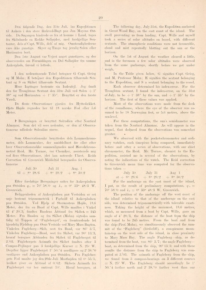
Den følgende Dag, den 31te Juli. laa Expeditionen
til Ankers i den store Rækved-Bugt paa Jan Mayéns
Østside. Da Søgangen hindrede os fra at komme i Land, toges
fra Skibsborde en Række Solhøjder, med forskjellige
Sextanter, dels af Capt. Wille, dels" af mig. Omstændighederne
vare ikke gunstige. Skyer og Taage tog jevnlig Solen eller
Horizonten hort.
Den 1ste August var Vejret noget gunstigere, og der
observeredes om Formiddagen en Del Solhøjder fra samme
Ankerplads, førend vi lettede.
I den nedenstaaende Tabel betegner G Capt. Grieg
og M Mohn; E betegner den Expeditionen tilhørende
Sextant og S en Skibet tilhørende Sextant.
Hver Iagttager bestemte sin Indexfejl. Jeg fandt
den for Troughtons Sextant den 31te Juli ved- Solen -f- l’
38" og ved Horizonten 1’ 35". Benyttet er den første
Værdi.
De fleste Observationer gjordes fra Hyttedækket.
Øjets Højde regnedes her til 18 norske Fod eller 5.6
Meter.
F Beregningen er benyttet Solradien efter Nautical
Almanac. Som det vil sees nedenfor, er dén af
Observationerne udledede Solradius større.
Som Observationsuhr benyttedes dels
Lommechrono-meter, dels Lommeuhre. der umiddelbart før eller efter
hver Observationsrække sammenlignedes med
Hovedchrono-metret Reid. Hr. Tornoe. vor Chemiker, assisterede mig
ved flere Observationer, idet han noterede Uhret. Reids
Correction til Greenwich Middeltid beregnedes for
Observationerne
Juli 30 Juli 31 Aug. 1
til + 8m 28/6 + 8"’ 29/2 -f- 8ra 30/2
Efter foreløbige Beregninger sattes for Ankerpladsen
paa Østsiden (f0 = 70° 58/0 og lQ = 0A 33’" 48/3 W.
Greenwich.
Beliggenheden af Ankerpladsen paa Vestsiden er ret
•nøje bestemt trigonometrisk i Fqrhold til Ankerpladsen
paa Østsiden. Ved Hjelp af Stormastens Højde, 18.6
Meter, der fra en Baad af Capt. Wille maaltes i Vinkel
til 4° 20/3, fandtes Baadens Afstand fra Skibet = 245
Meter. Fra Baaden og fra Skibet (Mohn) sigtedes
samtidig til Toppen af -Fugleberget", en fremtrædende let
kjendelig Fjeldtop paa Øens Vestside ved Mary Muss Bugten.
Vinkelen Fugleberg—Skib. seet fra Baad. var 86" 3/7,
Vinkelen Fugleberg—Baad. seet fra Skibet, var 90° 13/3,
hvoraf beregnes Afstanden fra Skibet til Fugleberget til
2/03. Fuglebergets Azimuth fra Skibet fandtes efter 3
Compas-Pejlinger paa 3 forskjellige Kurser = N. 25" AV.
Derefter ligger Fugleberget 1’ 50."4 nordligere og 2’38."0
vestligere end Ankerpladsen paa Østsiden. Fra
Fuglebergets Fod maalte jeg den 29de Juli Masthøjden til 0" 55/5.
hvilket giver en Afstand af 0/62. Skibets Azimuth fra
Fugleberget var her omtrent 70". Heraf beregnes, at
The following day, July 3lst, the Expedition anchored
in Great Wood Bay. on the east coast of the island. The
swell preventing us from landing, Capt. Wille and myself
took a series of solar altitudes on board, with different
sextants. The atmospheric conditions were not favourable,
cloud and mist repeatedly blotting out the sun or the
horizon.
On the 1st of August the weather cleared a little,
and in the forenoon a few solar altitudes were observed
from the same anchorage, shortly before we got under
weigh.
In the Table given . below. G signifies Capt. Grieg,
and M. Professor Mohn; E signifies the sextant belonging
to the Expedition, and S a sextant belonging to the vessel.
Each observer determined his index-error. For the
Troughton sextant. I found the index-error, on the 31st
of July, to be -1-1’ 38" by the sun, and +1’ 35" by the
horizon. The first of these values was applied.
Most of the observations were made from the deck
of the roundhouse, where the eye of the observer was
assumed to be 18 Norwegian feet, or 5.6 metres, above the
searlevel.
For these computations, the sun’s semidiameter was
talc en from the Nautical Almanac. As will appear in the
sequel, that deduced from the observations was somewhat
greater.
We observed with the pocket-chronometer and
ordinary watches, each timepiece being compared, immediately
before and after a series of observations, with our cliiel
chronometer, the Reid. Mr. Tornøe, chemist to the
Expedition. assisted me in several of the observations, by
noting the indications of the watch. The Reid correction
to Greenwich mean time was computed for the
observations taken —
July 30 July 31 Aug 1
at + 8»’ 28/6 + 8"’ 29/2 -f 8"1 30/2
For the anchorage on the east coast of the island,
I put, as the result of preliminary computations. rp{) =
70° 58/0 and /„ = 0;< 33m 48/3 W. Greenwich.
The position of the anchorage off the west coast of
the island relative to that of the anchorage on the east
side, was determined trigonometrically with tolerable
exactness. Taking the height of the mainmast. 18.6 metres,
which, as measured from a boat by Capt. Wille, gave an
angle of 4" 20/3, the distance of the boat from the ship
was found to be 245 metres. From the boat .and from
the ship (Prof. Mohn), we simultaneously observed the
summit of the "Fugleberg" (bird-cliff), a conspicuous
mountain-top on the west side of the island, in close proximity
to Mary Muss Bay. The angle Fugleberg—-ship, as
determined from the boat, was 86" 3/7; the angle Fugleberg—
boat, as determined from the ship," 90° 13/3; and with these
results the distanoe from the ship to Fugleberg was
computed at 2/03. The azimuth of Fugleberg from the ship,
we found from 3 compass-bearings on 3 different courses
= N. 25° W. The Fugleberg should accordingly lie 1’
50. "4 farther north and 2’ 38."0 farther west than our
<< prev. page << föreg. sida << >> nästa sida >> next page >>