
Full resolution (JPEG) - On this page / på denna sida - I. Physical Geography. Introd. by [G. Sundbärg] Gunnar Andersson - 1. Configuration. By Gunnar Andersson
<< prev. page << föreg. sida << >> nästa sida >> next page >>
Below is the raw OCR text
from the above scanned image.
Do you see an error? Proofread the page now!
Här nedan syns maskintolkade texten från faksimilbilden ovan.
Ser du något fel? Korrekturläs sidan nu!
This page has never been proofread. / Denna sida har aldrig korrekturlästs.
It)
I. PHYSICAL GEOGRAPHY.
extensive forests of pine and spruce, with a sprinkling of foliferous trees,
principally birch, in the vicinity of the scattered inhabited spots; the
same desolate peat-moss areas with scattered, stunted firs on them; the same
succession of meagre heights and shallow valleys. It is only the
favourable climatic conditions that have made more extensive agriculture possible.
Hence, to give but one example of the effect of the lastmentioned factor,
there exist far fewer obstacles to the cultivation of the large peat-mosses
in this part of the country than is the case farther north.
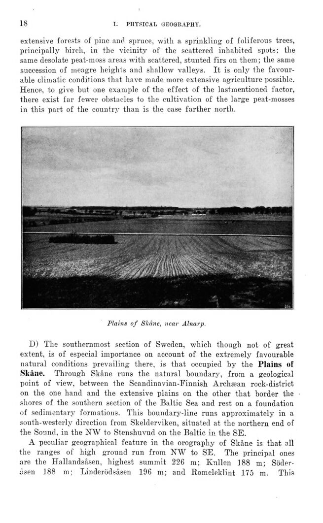
Plains of Skåne, near Alnarp.
D) The southernmost section of Sweden, which though not of great
extent, is of especial importance on account of the extremely favourable
natural conditions prevailing there, is that occupied by the Plains of
Skåne. Through Skåne runs the natural boundary, from a geological
point of view, between the Scandinavian-Finnish Archæan rock-district
on the one hand and the extensive plains on the other that border the
shores of the southern section of the Baltic Sea and rest on a foundation
of sedimentary formations. This boundary-line runs approximate^ in a
south-westerly direction from Skelderviken, situated at the northern end of
the Sound, in the NW to Stenshuvud on the Baltic in the SE.
A peculiar geographical feature in the orography of Skåne is that all
the ranges of high ground run from NW to SE. The principal ones
are the Hallandsåsen, highest summit 226 m; Kullen 188 m;
Söderåsen 188 m; Linderödsåsen 196 m; and Romeleklint 175 m. This
<< prev. page << föreg. sida << >> nästa sida >> next page >>