Full resolution (JPEG) - On this page / på denna sida - Sidor ...

<< prev. page << föreg. sida << >> nästa sida >> next page >>
Below is the raw OCR text
from the above scanned image.
Do you see an error? Proofread the page now!
Här nedan syns maskintolkade texten från faksimilbilden ovan.
Ser du något fel? Korrekturläs sidan nu!
This page has never been proofread. / Denna sida har aldrig korrekturlästs.
observations (In the vegetation ol- tUe Vntarctic sea 261
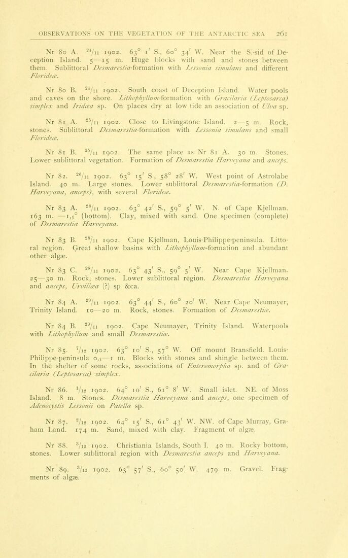
Nr 80 A. 24/u 1902. 63° 1’ S„ 60° 34’ W. Near the S.-sid of
Deception Island, s—15 m. Huge blocks with sand and stones between
them. Sublittoral Desmaiestia-formMion with Lessonia simulans and different
Florideæ.
Nr 80 B. 2,/n 1902. South coast of Deception Island. Water pools
and caves on the shore. I. it/wphy Hum - fo r m a tion with Gracilaria (Leptosarca)
simplex and Iridæa sp. On places dry at low tide an association of Ulva sp.
Nr 81 A. 25/ii 1902. Close to Livingstone Island. 2—5 m. Röck,
stones. Sublittoral Desmin es/in-fo r m a t i o n with Lessonia simulans and small
Florideæ.
Nr 81 B. 25/n 1902. The same place as Nr 81 A. 30 m. Stones.
Lower sublittoral vegetation. Formation of Desmarestia Harveyana and aneeps.
Nr 82. 2C/n 1902. 63° 15’ S , 58° 28’ W. West point of Astrolabe
Island- 40 m. Large stones. Lower sublittoral Desmarestia-formation (I).
Harveyana, aneeps), with several Florideæ.
Nr 83 A. 28/n 1902. 63° 42’ S., 59° 5’ W. N. of Cape Kjellman.
163 m. —r,5° (bottom). Clay, mixed with sand. One specimen (complete)
of Desmarestia Harveyana.
Nr 83 B. 28/n 1902. Cape Kjellman, Louis-Philippe-peninsula
Littoral region. Great shallow basins with Litliopliyl/um-formzUon and abundant
other algæ.
Nr 83 C. 28/n 1902. 63° 43’ S., 59° 5’ W. Near Cape Kjellman.
25—30 m. Röck, stones. Lower sublittoral region. Desmarestia Harveyana
and aneeps, Urvillæa (?) sp &ca.
Nr 84 A. 29/n 1902. 63° 44’ S., 6o° 20’ W. Near Cape Neumayer,
Trinity Island. 10—20 m. Röck, stones. Formation of Desmarestiæ.
Nr 84 B. 29/n 1902. Cape Neumayer, Trinity Island. Waterpools
with Lithophyllum and small Desmarestiæ.
Nr 85. 7/’ä 1902. 63° 10’ S., 57° W. Off mount Bransfield.
Louis-Philippe-peninsula o,s—1 111. Blocks with stones and shingle between them.
In the shelter of some rocks, associations of Enteromorpha sp. and of
Gracilaria (Leptosarca) simplex.
Nr 86. Vis 1902. 64° 10’ S., 6i° 8’ W. Small islet. NE. of Moss
Island. 8 m. Stones. Desmarestia Harveyana and aneeps, one specimen of
Adenocystis Lessonii on Patella sp.
Nr 87. 2/i2 1902. 64° 15’ S., 61° 43’ W. NW. of Cape Murray,
Graham Land. 174 m. Sand, mixed with clay. Fragment of algæ.
Nr 88. 3/i2 1902. Christiania Islands, South I. 40 m. Rocky bottom,
stones. Lower sublittoral region with Desmarestia aneeps and Harveyana.
Nr 89. s/i2 1902. 63° 57’ S., 60° 50’ W. 479 m. Gravel.
Fragments of algæ.
<< prev. page << föreg. sida << >> nästa sida >> next page >>