
Full resolution (JPEG) - On this page / på denna sida - English

<< prev. page << föreg. sida << >> nästa sida >> next page >>
Below is the raw OCR text
from the above scanned image.
Do you see an error? Proofread the page now!
Här nedan syns maskintolkade texten från faksimilbilden ovan.
Ser du något fel? Korrekturläs sidan nu!
This page has never been proofread. / Denna sida har aldrig korrekturlästs.
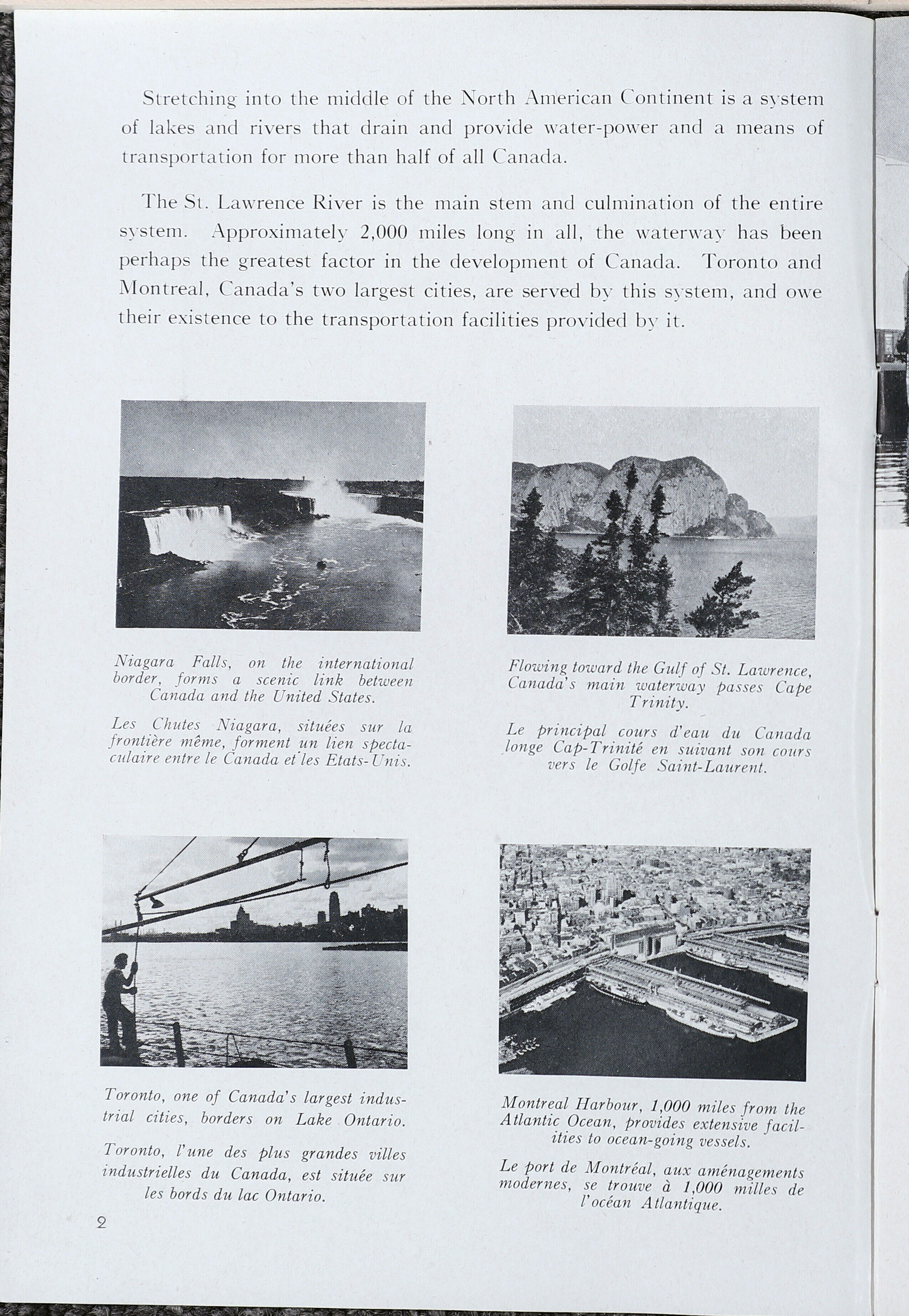
Stretching into the middle of the North American Continent is a system
of lakes and rivers that drain and provide water-power and a means of
transportation for more than half of all Canada.
The St. Lawrence River is the main stem and culmination of the entire
system. Approximately 2,000 miles long in all, the waterway has been
perhaps the greatest factor in the development of Canada. Toronto and
Montreal, Canada’s two largest cities, are served by this system, and owe
their existence to the transportation facilities provided by it.
Niagara Falls, on the international Flowing toward the Gulf of St. Lawrence,
border, forms a scenic link between Canada’s main waterway passes Cape
Canada and the United States. Trinity.
Les Chutes Niagara, situées sur la Le principal cours d’eau du Canada
frontière même, forment un lien specta- longe Cap-Trinité en suivant son cours
culatre entre le Canada et les Etats-Unis. vers le Golfe Saint-Laurent.
Toronto, one of Canada’s largest indus- Montreal Harbour, 1,000 miles from the
trial cities, borders on Lake Ontario. Atlantic Ocean, provides extensive facil-
ities to ocean-going vessels.
Toronto, l’une des plus grandes villes p
Pp g sou Le port de Montréal, aux aménagements
industrielles du Canada, est située sur modernes, se trouve à 1,000 milles de
les bords du lac Ontario. l’océan Atlantique.
<< prev. page << föreg. sida << >> nästa sida >> next page >>