
Full resolution (JPEG) - On this page / på denna sida - N:o 5 - Pages ...
<< prev. page << föreg. sida << >> nästa sida >> next page >>
Below is the raw OCR text
from the above scanned image.
Do you see an error? Proofread the page now!
Här nedan syns maskintolkade texten från faksimilbilden ovan.
Ser du något fel? Korrekturläs sidan nu!
This page has never been proofread. / Denna sida har aldrig korrekturlästs.
8
Yrjö Ilvessalo, The Forest .’Resources’ of Finland in 1936—1938
according to areas of water systems, districts of provincial boards of
forestry, classes of owners, classes of land use, forest and swamp types,
species of trees, age classes etc., this being done by means of sorting
machines. The cards were then placed in groups in a tabulator which
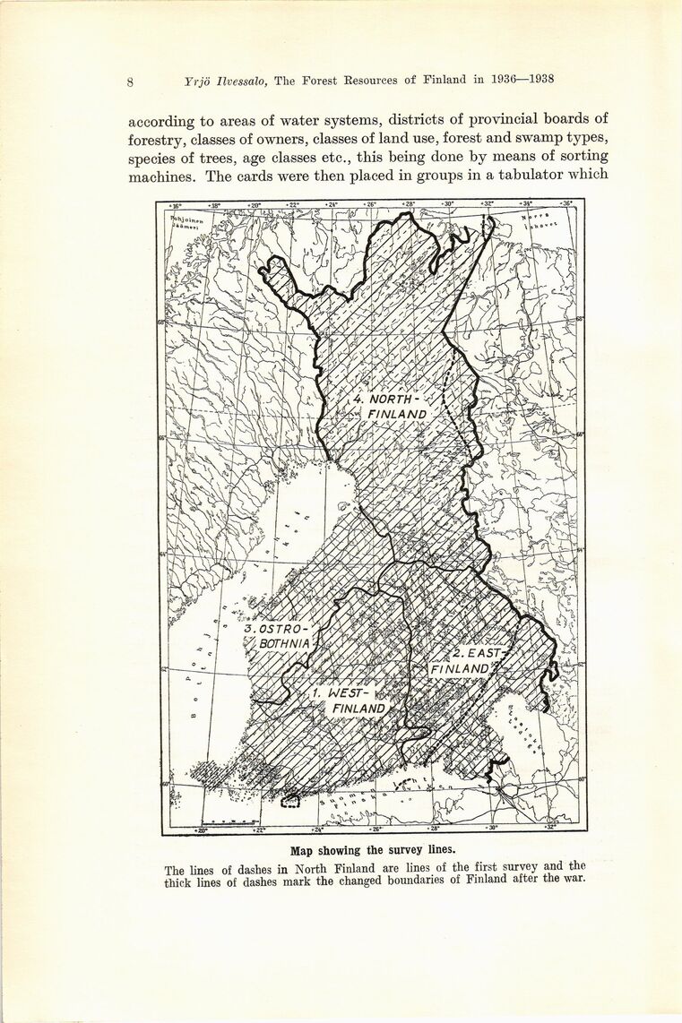
Map showing the survey lines.
The lines of dashes in North Finland are lines of the first survey and the
thick lines of dashes mark the changed boundaries of Finland after the war.
<< prev. page << föreg. sida << >> nästa sida >> next page >>