
Full resolution (JPEG) - On this page / på denna sida - I. Physical Geography. Introd. by [G. Sundbärg] Gunnar Andersson - 2. Hydrography. By A. Wallén
<< prev. page << föreg. sida << >> nästa sida >> next page >>
Below is the raw OCR text
from the above scanned image.
Do you see an error? Proofread the page now!
Här nedan syns maskintolkade texten från faksimilbilden ovan.
Ser du något fel? Korrekturläs sidan nu!
This page has never been proofread. / Denna sida har aldrig korrekturlästs.
It)
I. PHYSICAL GEOGRAPHY.
O. Appelberg has investigated the influence exerted by the last-named factor
on the discharges. The results of these studies may be summarized as follows:
Cultivated ground tends to promote the overflowing of rivers during wet years,
and drought during dry years; meadow-land is a protection against inundations
in wet years, but diminishes the supply of water in times of drought; timbered
land always increases the amount of water but, during rainy periods, yields only
half the volume given by cultivated ground, and, in dry years, gives so much
water that it. contributes essentially to prevent drought; lakes are efficacious
regulators of the water-level, by their storing the surplus water obtained from
excessive precipitation during wet years, and afterwards returning it again slowly
during a drought.
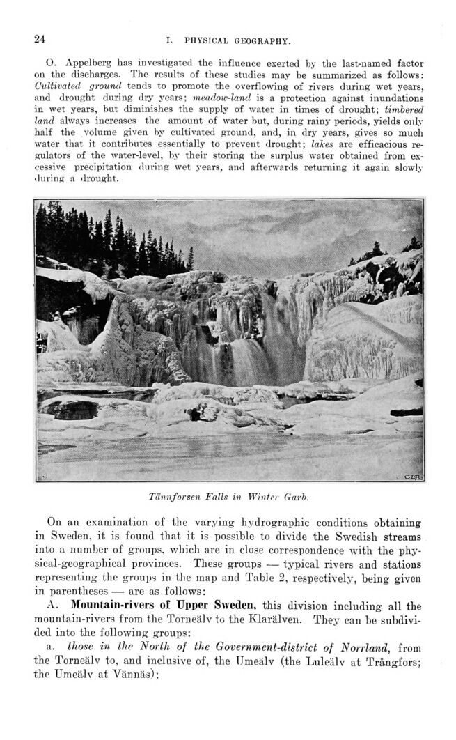
Tännforsen Falls in Winter Garb.
On an examination of the varying hydrographic conditions obtaining
in Sweden, it is found that it is possible to divide the Swedish streams
into a number of groups, which are in close correspondence with the
physical-geographical provinces. These groups — typical rivers and stations
representing the groups in the map and Table 2, respectively, being given
in parentheses — are as follows:
A. Mountain-rivers of Upper Sweden, this division including all the
mountain-rivers from the Torneälv to the Klarälven. They can be
subdivided into the following groups:
a. those in the North of the Government-district of Norrland, from
the Torneälv to, and inclusive of, the Umeälv (the Luleälv at Trångfors;
the Umeälv at Vännäs);
<< prev. page << föreg. sida << >> nästa sida >> next page >>