
Full resolution (JPEG) - On this page / på denna sida - III. Constitution and Administration. Introd. by E. Hildebrand - 2. State Administration. By E. Söderberg - Official Cartography. By A. H. Byström

<< prev. page << föreg. sida << >> nästa sida >> next page >>
Below is the raw OCR text
from the above scanned image.
Do you see an error? Proofread the page now!
Här nedan syns maskintolkade texten från faksimilbilden ovan.
Ser du något fel? Korrekturläs sidan nu!
This page has never been proofread. / Denna sida har aldrig korrekturlästs.
OFFICIAL CARTOGRAPHY.
227
The originals of both maps and descriptions are handed over to the county
land-surveyor’s office, one copy to the landowner, and another copy to the
archives of the Survey Board at Stockholm.
The Swedish Ordnance Survey. The making of geographical maps of
the kingdom, which had at first been a duty of the Land-surveying
Service — which thus had to draw up maps not only of parishes and hundreds,
but also of provinces and läns and a general map — gradually came to
a standstill and — with the exception of the parish maps, which were
produced by the Land-surveying Service down to 1859 — was taken over
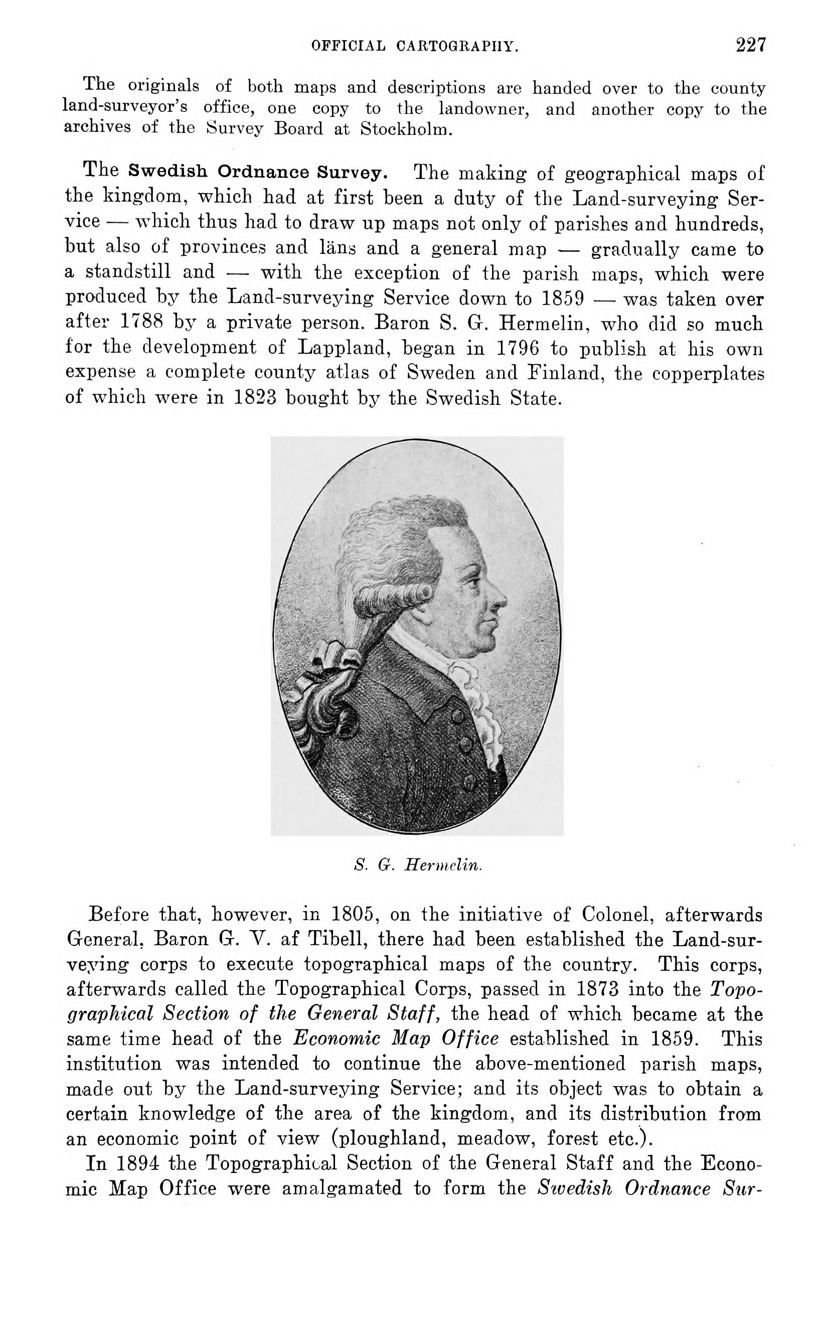
after 1788 by a private person. Baron S. G. Hermelin, who did so much
for the development of Lappland, began in 1796 to publish at his own
expense a complete county atlas of Sweden and Finland, the copperplates
of which were in 1823 bought by the Swedish State.
S. G. Hermelin.
Before that, however, in 1805, on the initiative of Colonel, afterwards
General, Baron G. V. af Tibell, there had been established the
Land-surveying corps to execute topographical maps of the country. This corps,
afterwards called the Topographical Corps, passed in 1873 into the
Topographical Section of the General Staff, the head of which became at the
same time head of the Economic Map Office established in 1859. This
institution was intended to continue the above-mentioned parish maps,
made out by the Land-surveying Service; and its object was to obtain a
certain knowledge of the area of the kingdom, and its distribution from
an economic point of view (ploughland, meadow, forest etc.).
In 1894 the Topographical Section of the General Staff and the
Economic Map Office were amalgamated to form the Swedish Ordnance Sur-
<< prev. page << föreg. sida << >> nästa sida >> next page >>