
Full resolution (TIFF) - On this page / på denna sida - Some remarks upon the geographical distribution of vegetation in the colder Southern Hemisphere. By Carl Skottsberg. Botanist of the Swedish Antarctic Expedition 1901—1903. With 2 maps, tabl. 8 and 9. - General survey of the austral of or palæooceanic (Engler) realm. - II. The subantarctic dominion. - 1. District of subantarctic South America. - A. South Chilian—Fuegian Province.
<< prev. page << föreg. sida << >> nästa sida >> next page >>
Below is the raw OCR text
from the above scanned image.
Do you see an error? Proofread the page now!
Här nedan syns maskintolkade texten från faksimilbilden ovan.
Ser du något fel? Korrekturläs sidan nu!
This page has never been proofread. / Denna sida har aldrig korrekturlästs.
DISTRIBUTION OF VEGETATION IN THE COLDER SOUTH HEMISPHERE. 417
Picton, New and Lennox Islands show evergreen forests as well
as the eastern parts of Navarin Island. But on the north coast of
this island the summergreen woods increase rapidly and soon prevail,
and the same observation was made on the north shore of the
Beagle Channel from Slogget Bay. Round Harberton and from
there into the interior only summergreen forests are to be seen,
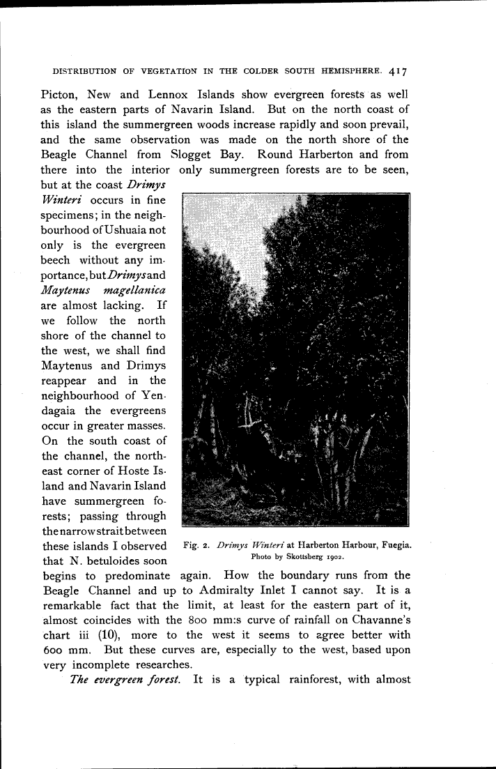
but at the coast Drimys
Winteri occurs in fine
specimens; in the
neighbourhood of Ushuaia not
only is the evergreen
beech without any
importance, but Drimys and
Maytenus magellanica
are almost lacking. If
we follow the north
shore of the channel to
the west, we shall find
Maytenus and Drimys
reappear and in the
neighbourhood of
Yen-dagaia the evergreens
occur in greater masses.
On the south coast of
the channel, the
northeast corner of Hoste
Island and Navarin Island
have summergreen
forests; passing through
the narrow strait between
these islands I observed
that N. betuloides soon
begins to predominate again. How the boundary runs from the
Beagle Channel and up to Admiralty Inlet I cannot say. It is a
remarkable fact that the limit, at least for the eastern part of it,
almost coincides with the 800 mm:s curve of rainfall on Chavanne’s
chart iii (10), more to the west it seems to agree better with
600 mm. But these curves are, especially to the west, based upon
very incomplete researches.
The evergreen forest. It is a typical rainforest, with almost
Fig. 2. Drimys Winteri at Harberton Harbour, Fuegia.
Photo by Skottsberg 1902.
<< prev. page << föreg. sida << >> nästa sida >> next page >>