Full resolution (JPEG) - On this page / på denna sida - Route in Northern Arabia

<< prev. page << föreg. sida << >> nästa sida >> next page >>
Below is the raw OCR text
from the above scanned image.
Do you see an error? Proofread the page now!
Här nedan syns maskintolkade texten från faksimilbilden ovan.
Ser du något fel? Korrekturläs sidan nu!
This page has never been proofread. / Denna sida har aldrig korrekturlästs.
[-but,-]{+Dr. Wallin’s- Route, in Northern Arabia. 15
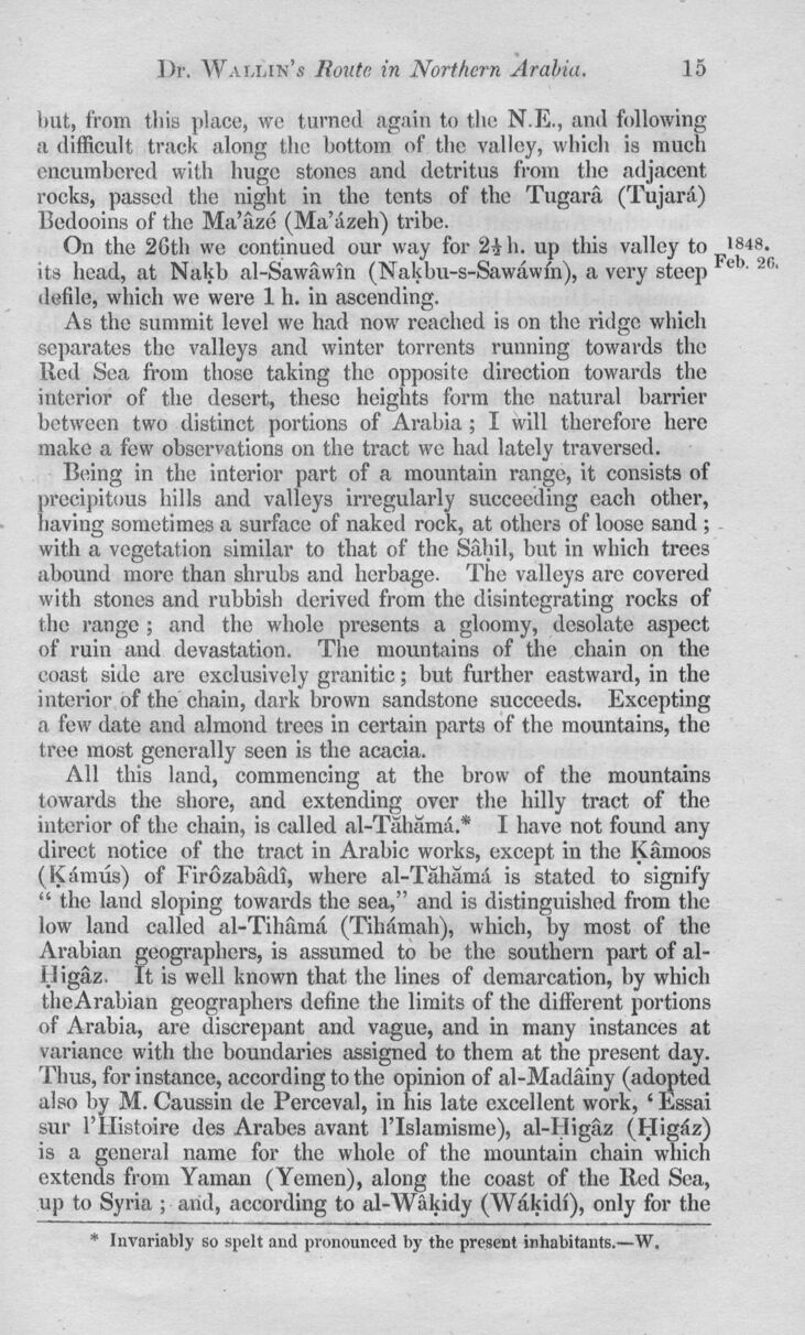
but,+} from this place, we turned again to the N.E., anil following
it difficult track along the bottom of the valley, which is much
encumbered with huge stones and detritus from the adjacent
rocks, passed the night in the tents of the Tugara (Tujara)
Bedooins of the Ma’aze (Ma’azeh) tribe.
On the 26th we continued our way for 2i h. up this valley to 1848.
its head, at Nakb al-Sawawin (Nakbu-s-Sawawfn), a very steep v ’ 2G’
defile, which we were 1 h. in ascending.
As the summit level we had now reached is on the ridge which
separates the valleys and winter torrents running towards the
lied Sea from those taking the opposite direction towards the
interior of the desert, these heights form the natural barrier
between two distinct portions of Arabia; I will therefore here
make a few observations on the tract wo had lately traversed.
Being in the interior part of a mountain range, it consists of
precipitous hills and valleys irregularly succeeding each other,
having sometimes a surface of naked rock, at others of loose sand ;
with a vegetation similar to that of the Sahil, but in which trees
abound more than shrubs and herbage. The valleys arc covered
with stones and rubbish derived from the disintegrating rocks of
the range; and the whole presents a gloomy, desolate aspect
of ruin and devastation. The mountains of the chain on the
coast side are exclusively granitic; but further eastward, in the
interior of the chain, dark brown sandstone succeeds. Excepting
a few date and almond trees in certain parts of the mountains, the
tree most generally seen is the acacia.
All this land, commencing at the brow of the mountains
towards the shore, and extending over the hilly tract of the
interior of the chain, is called al-Tahamd* I have not found any
direct notice of the tract in Arabic works, except in the Kamoos
(Kaimis) of Firozabadi, where al-Tahama is stated to signify
“ the land sloping towards the sea,” and is distinguished from the
low land called al-Tihama (Tihfimah), which, by most of the
Arabian geographers, is assumed to he the southern part of
al-fJigaz. It is well known that, the lines of demarcation, by which
theArabian geographers define the limits of the different portions
of Arabia, are discrepant and vague, and in many instances at
variance with the boundaries assigned to them at the present day.
Thus, for instance, according to the opinion of al-Madainy (adopted
also by M. Caussin tie Perceval, in his late excellent work, ‘ Essai
sur l’Uistoire ties Arabes avant l’lslamisme), al-I Iigaz (Higfiz)
is a general name for the whole of the mountain chain which
extends from Yaman (Yemen), along the coast of the Red Sea,
up to Syria ; ami, according to al-Wakidy (Wakidi), only for the
* Invariably so spelt and pronounced by the present inhabitants.—W.
<< prev. page << föreg. sida << >> nästa sida >> next page >>